
Here’s a pop quiz I’d like you to try:
Literacy exercises should include…
a. stories
b. poems
c. plays
d. all of the above
If you answered “d”, you are correct, but I’d like to add another option as well – “e. any text used in everyday life”. Of course, some might feel I’m cheating a bit by adding another, but my goal is to challenge the traditional way we (I) view literacy. In my experience, literacy has traditionally been taught within the framework of stories, and sometimes was expanded to include poems and plays. In my days as an English teacher, the mention of a poem or a play would often elicit groans from my students, and most of them were much more comfortable studying stories. I’m trying to expand the traditional boundaries of literacy in my second language classroom by defining literacy skills as that set of skills which allow students to understand, explore and use anything incorporating text.
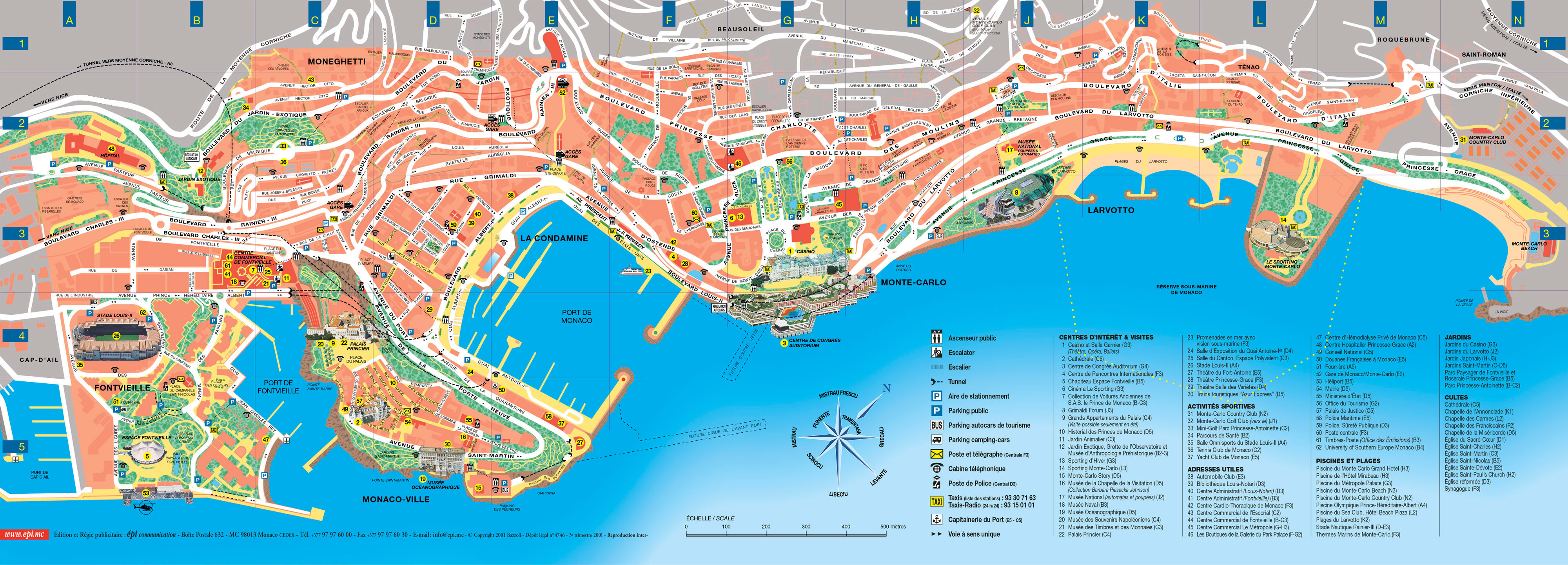
My French 10 students are currently working on a unit in which they learn survival strategies for travelling in a Francophone country, and so I decided to design a literacy activity using tourist maps for a variety of Francophone cities around the world. They had just completed a listening exercise from their textbook based on a map of Montréal. That exercise was challenging from a listening perspective, but I felt that there was untapped potential in reading maps, so I went online to see how many French language tourist maps I could find and compiled the following list:
Information, please
High school students are not particularly experienced in reading maps, let alone tourist maps in French of places they’ve never been. I set this up as a partner exercise in order to set up discussions between my students as they worked through the material, and also to decrease the chance that a student working alone would give up in frustration. Using a National Geographic teaching resource for inspiration, I created the first exercise which just asks them to extract information from the map, but also gives an organizational framework for it:
| Aspects physiques de la ville de ______ | Aspects culturels de la ville de ______ |
|
|
|
Once they have the table above filled out with examples of physical features of the map (mountains, ocean, rivers, etc.) and cultural features (anything man-made and showing characteristics of the culture of the place and people who built it), they move on to longer written responses which ask them to consider some of the connections between elements of the map and cultural aspects of the location of the city. They need to consider names of parks, streets, and public areas, among other things. They also need to learn or use another mapping literacy skill, using the basic elements of scale to estimate the size of the area shown on their map. Also using mapping literacies, they are asked to use legends or icons (or both) to see what other information is displayed on the map, and then need to explore a comparison between the area depicted on the map and their own community. The final exercise asks them to prepare a short walking tour of the city they have chosen, and to record a video of themselves and their partner talking about how to get around a small area of the city, and what they would see there.
Related links
I’m including the link to my Google Doc (originally in French but with English included for those who speak other languages) here for those who may be interested: https://docs.google.com/document/d/1qopmhTSjuOt2Y72en5BidGb03LfqQy938kW6Js9ueXQ/edit?usp=sharing
National Geographic has a range of teacher resources available free here: http://education.nationalgeographic.com/teaching-resources/
A good summary of why students need to be able to read maps, as well as some of the skills contained within that ability: http://www.esri.com/esri-news/arcnews/fall14articles/the-importance-of-teaching-children-to-read-maps
